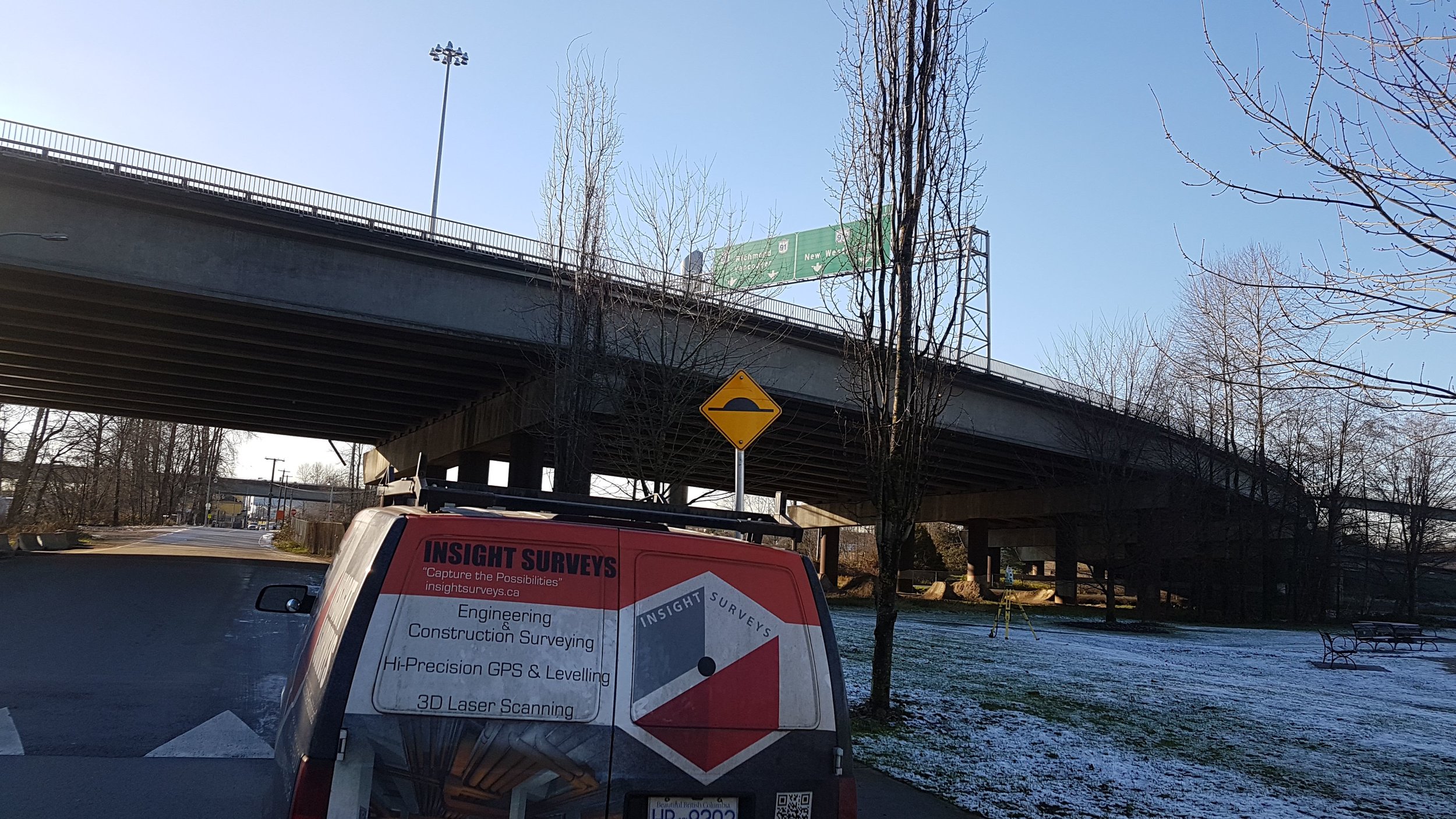
![2017-12-18 15.33.26.jpg](https://images.squarespace-cdn.com/content/v1/54c57a28e4b060a897600f16/1524090061414-BLOMDZX9H8PHOVULF8PG/2017-12-18+15.33.26.jpg)
SERVICES
What We Do
At Insight Surveys, we are your surveying maestros. We don't just measure; we compose blueprints for success. Whether it's ensuring the stability of a towering structure or mapping out intricate details for a new project, our team is your go-to for turning challenges into opportunities. We're not just surveyors; we are your partners in progress.
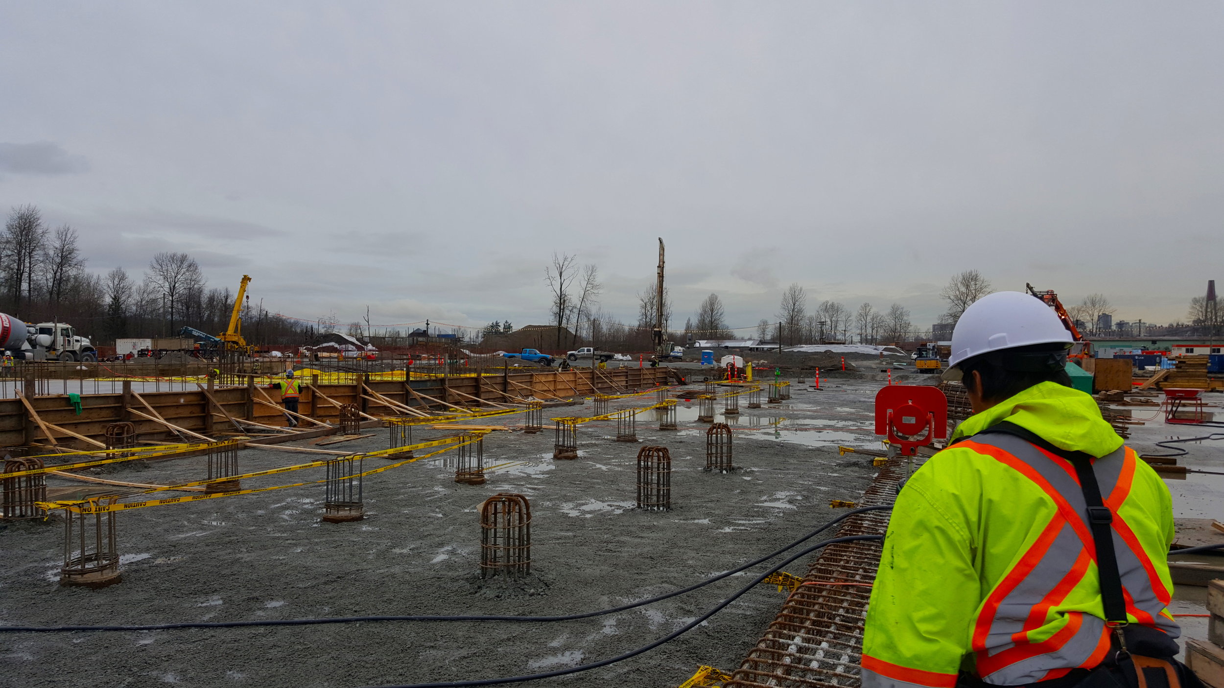
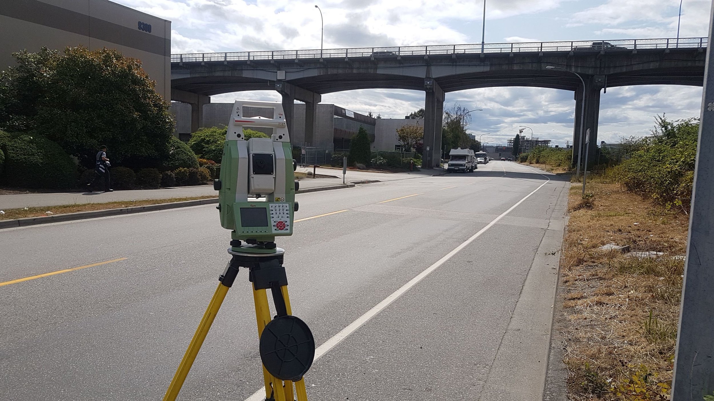
General
![%2FIMG-20170103-WA0016 (1).jpeg](https://images.squarespace-cdn.com/content/v1/54c57a28e4b060a897600f16/1516148372183-NNZKEBCI02XONC4YCOJ5/%252FIMG-20170103-WA0016+%281%29.jpeg)
![%2FIMG-20170818-WA0000.jpeg](https://images.squarespace-cdn.com/content/v1/54c57a28e4b060a897600f16/1516148372633-9FAO313S0H8BOJJJLPFE/%252FIMG-20170818-WA0000.jpeg)
![20151203_105314.jpg](https://images.squarespace-cdn.com/content/v1/54c57a28e4b060a897600f16/1516148388230-D8SDXE9XE6VKWY65XMZ6/20151203_105314.jpg)
![20151224_184837.jpg](https://images.squarespace-cdn.com/content/v1/54c57a28e4b060a897600f16/1516148388469-WV56IKP90VBRHURWJ7UY/20151224_184837.jpg)
![20170907_134212.jpg](https://images.squarespace-cdn.com/content/v1/54c57a28e4b060a897600f16/1516148407177-2GT2RRNTDBL0R09212Y7/20170907_134212.jpg)
![IMG-20170206-WA0004.jpeg](https://images.squarespace-cdn.com/content/v1/54c57a28e4b060a897600f16/1516148400717-BW0ET9HZUTPW9F5VW8WV/IMG-20170206-WA0004.jpeg)
![IMG-20170607-WA0003.jpg](https://images.squarespace-cdn.com/content/v1/54c57a28e4b060a897600f16/1516148402645-PBOCAQ6TQGVMQ6M2BIL2/IMG-20170607-WA0003.jpg)
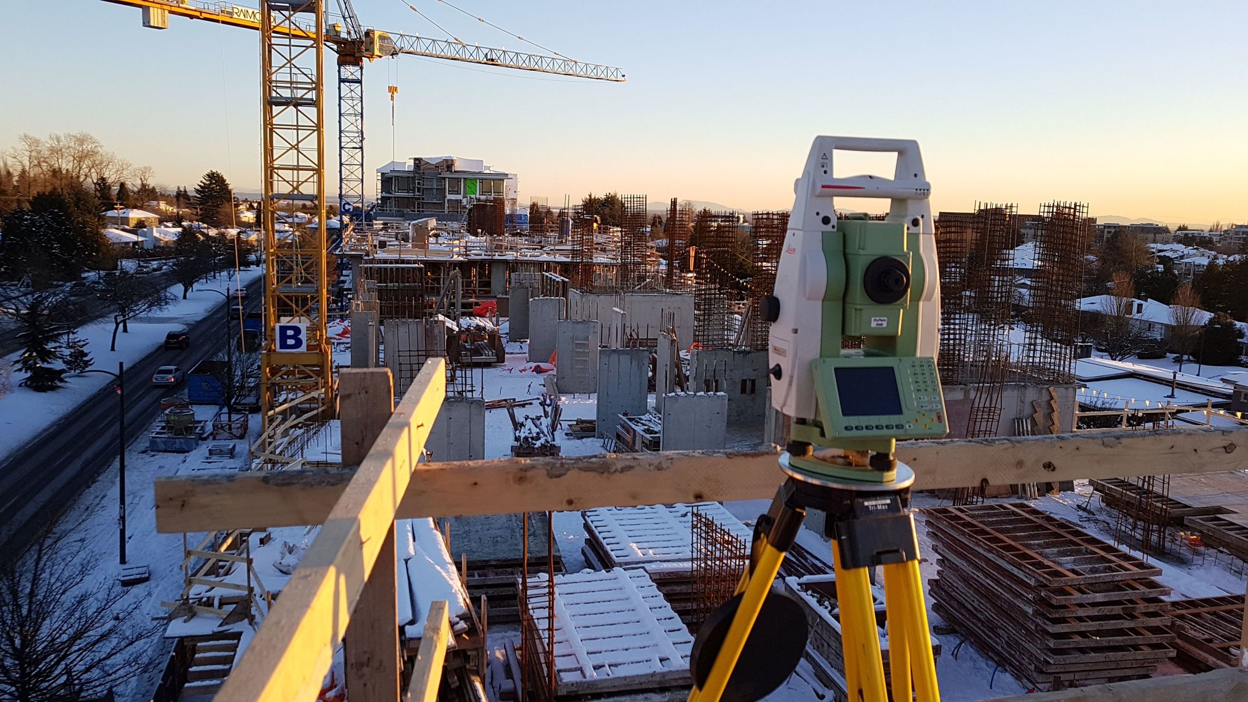
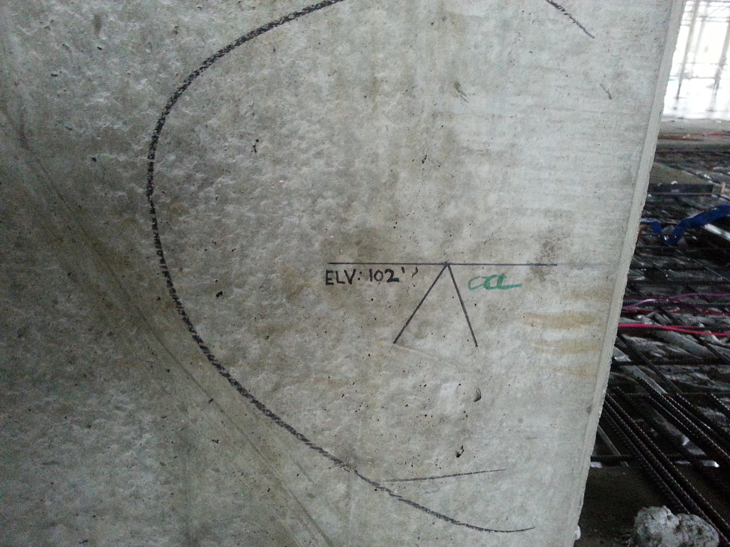
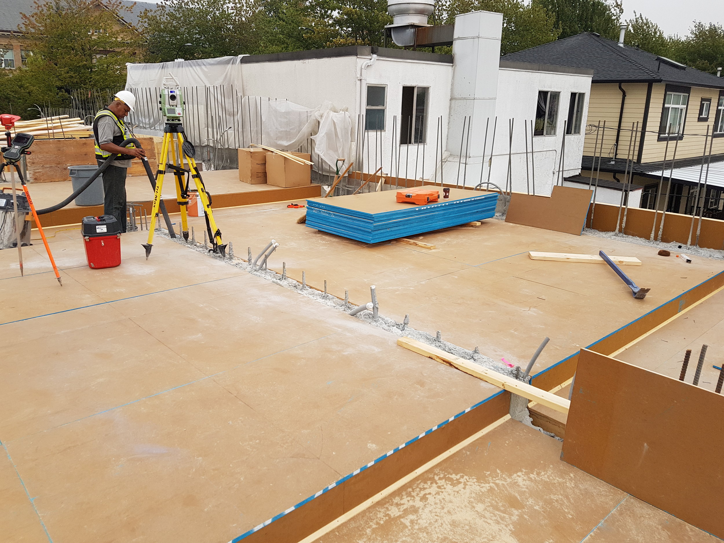
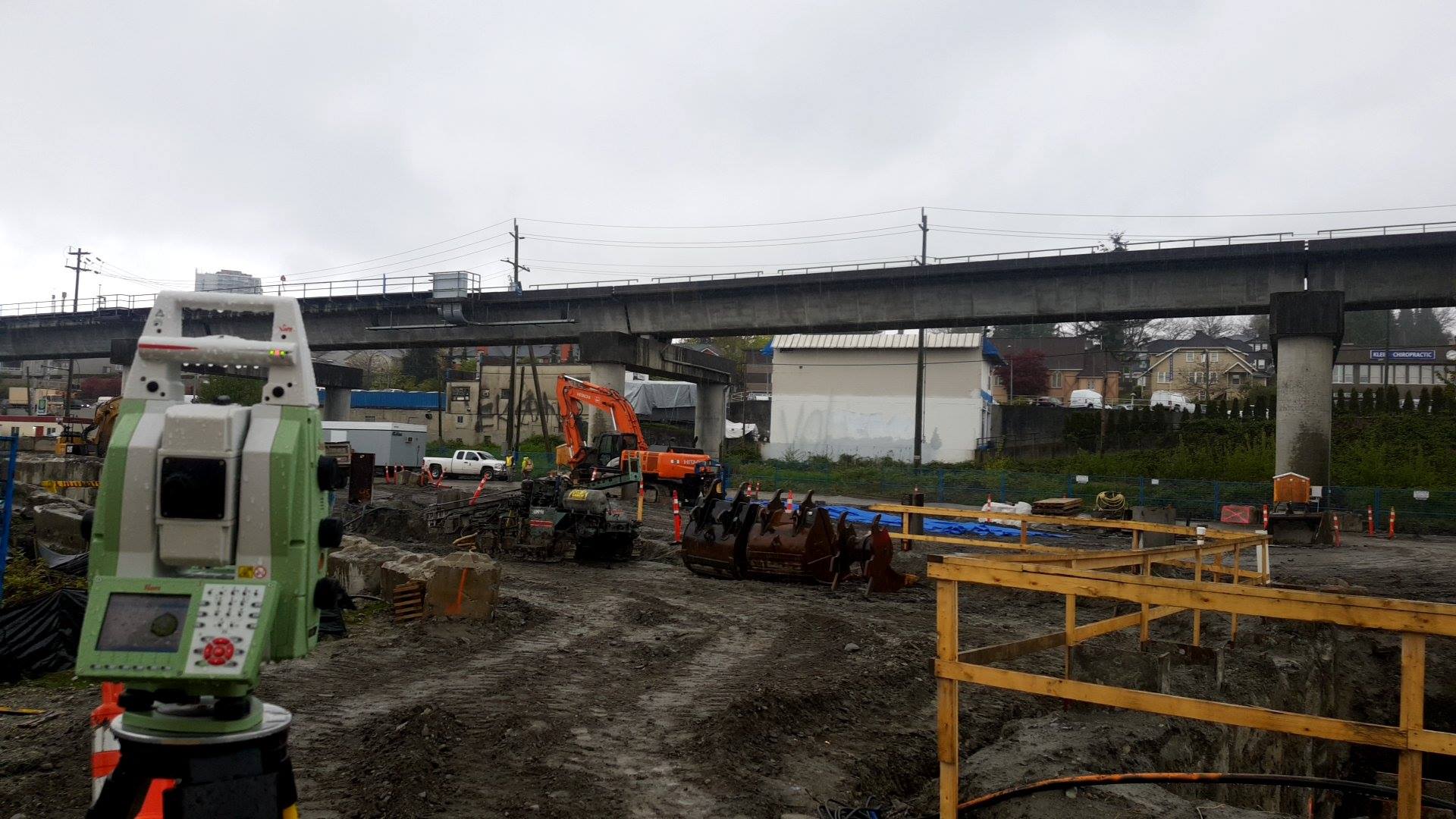
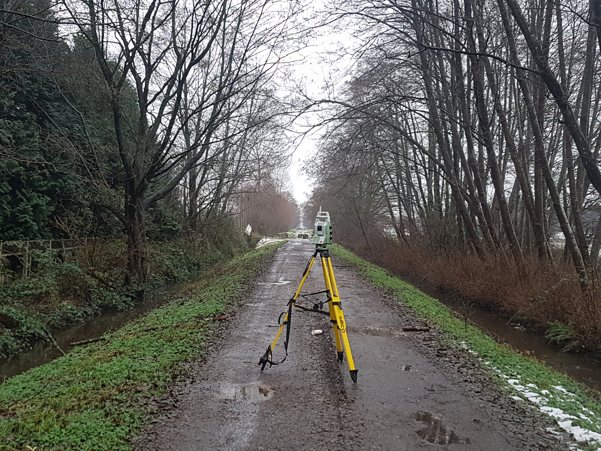
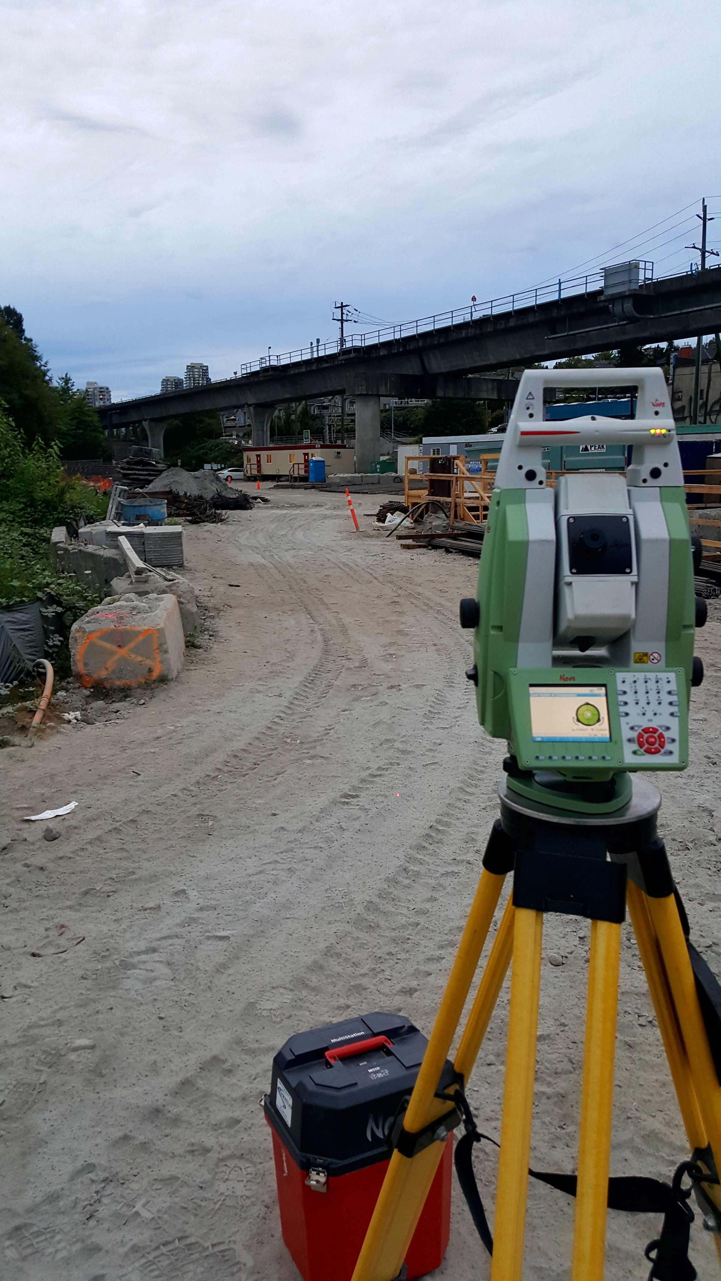
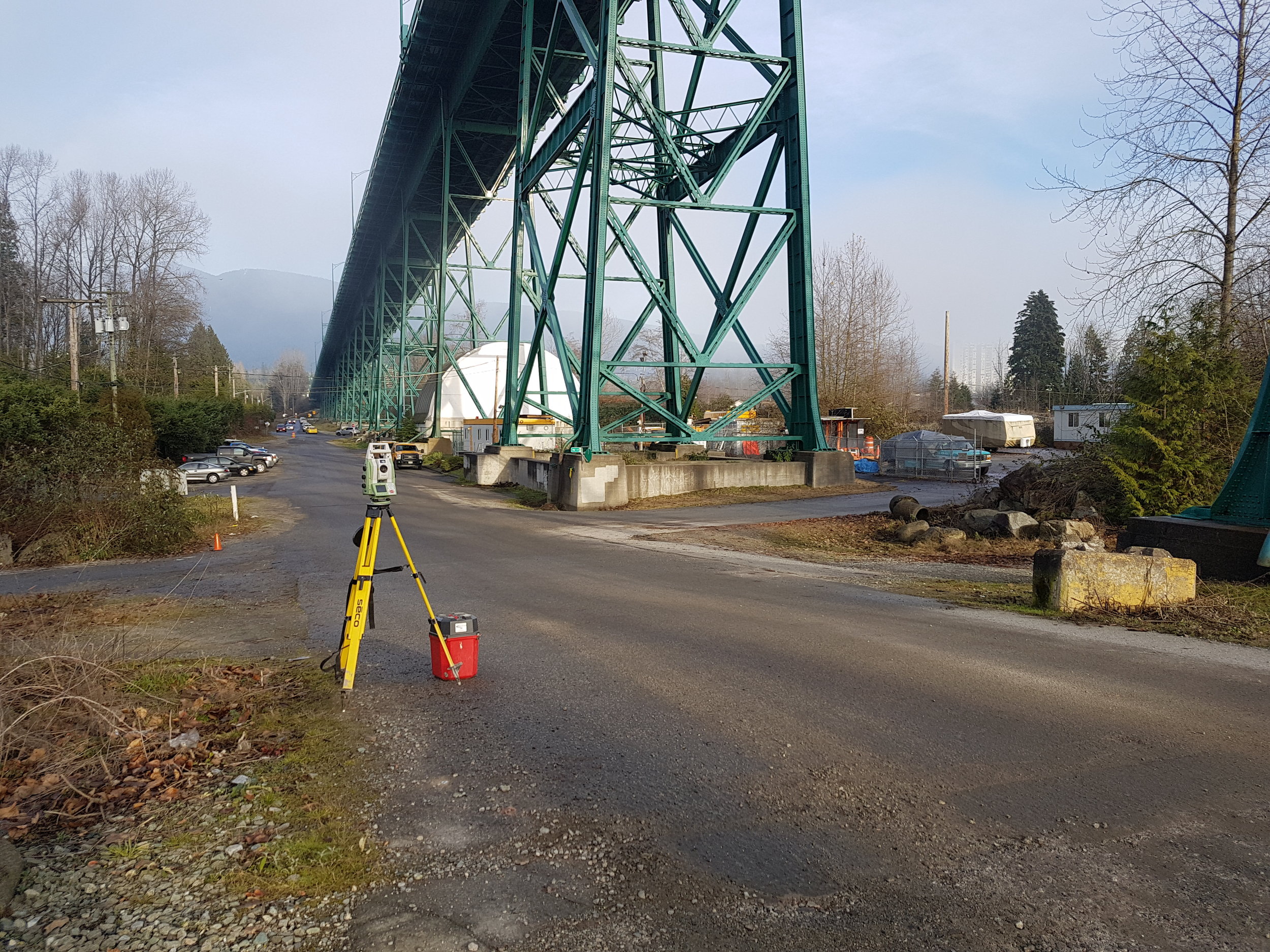
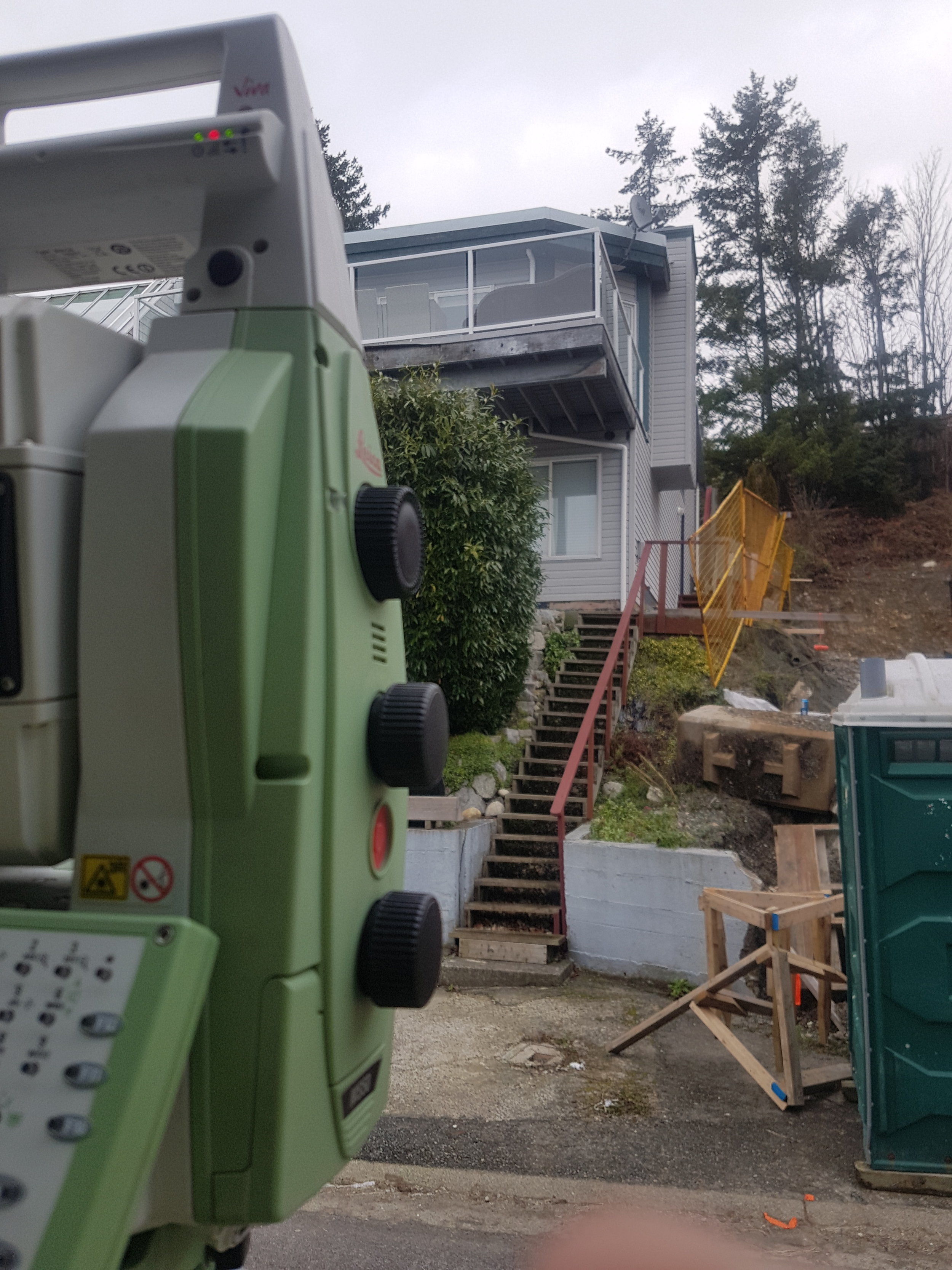
Hi-Precision Control Network Setup
2D/3D Layout
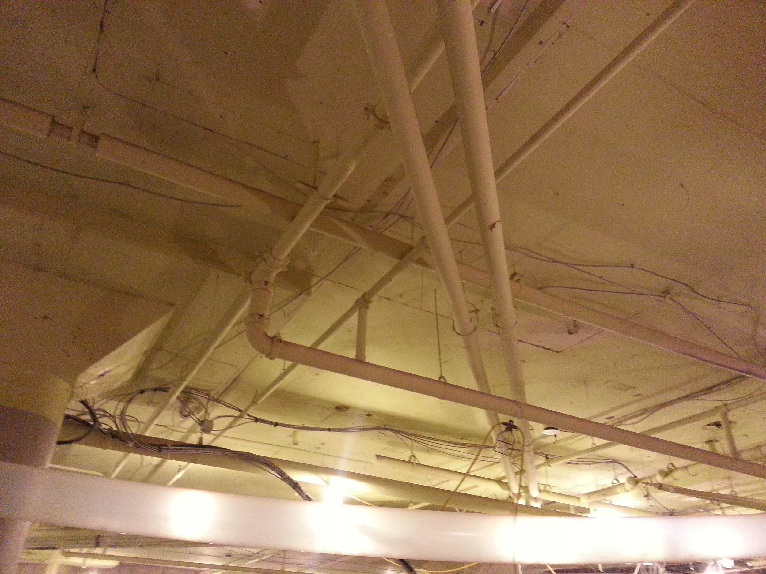
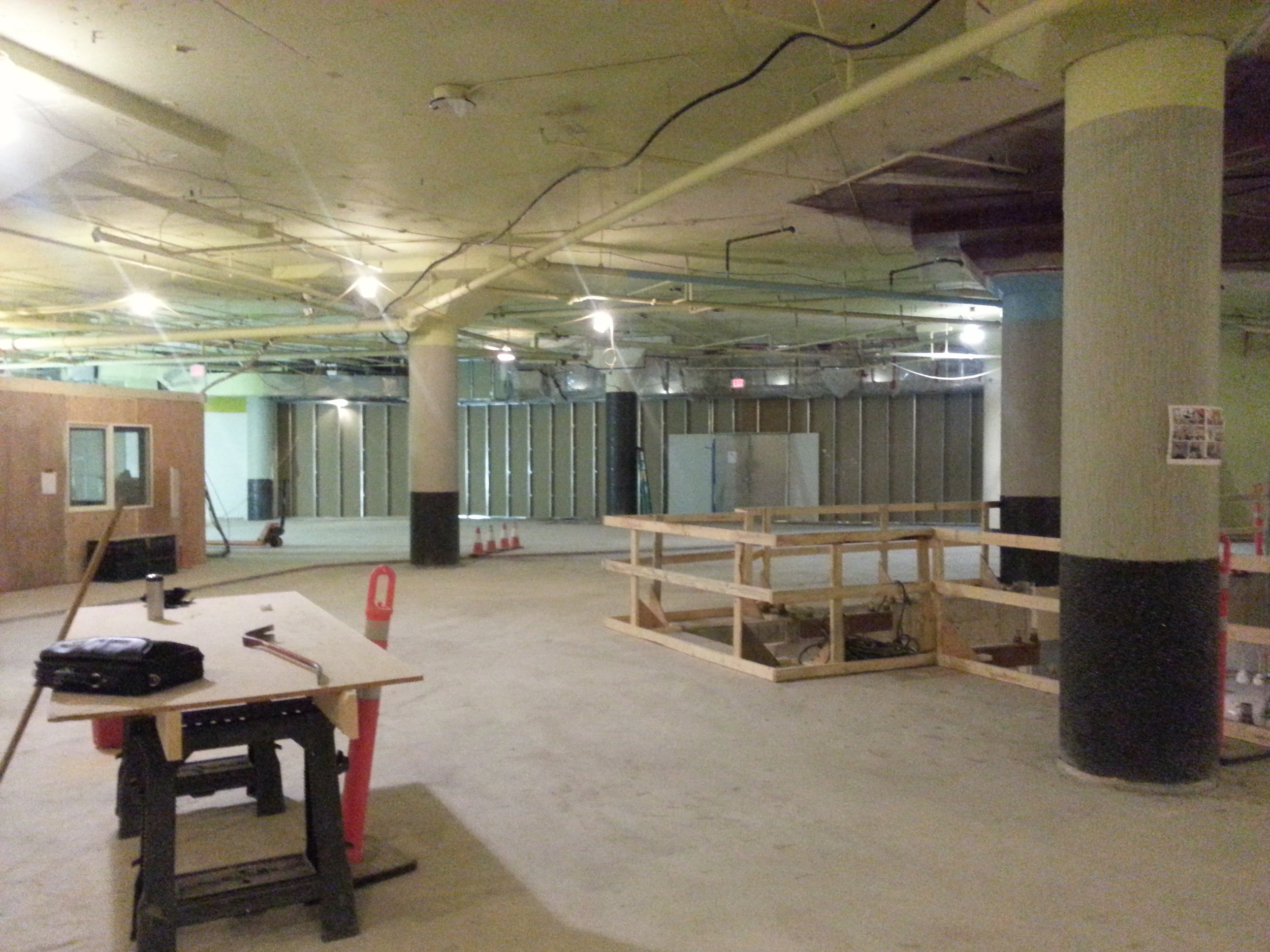
2D/3D As-Built / Quality Assurance
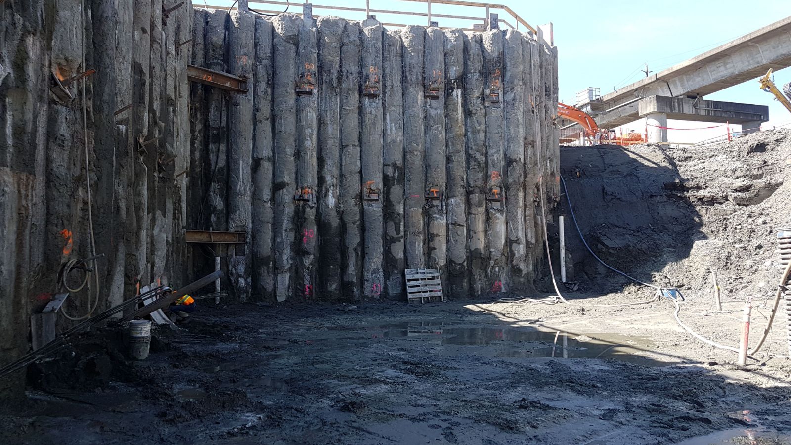
Topographic Surveys
Laser Scanning
![IMG-20171130-WA0003.jpeg](https://images.squarespace-cdn.com/content/v1/54c57a28e4b060a897600f16/1516148585319-11W0892JP63QEZPHIR20/IMG-20171130-WA0003.jpeg)
![received_10210963814024542.jpeg](https://images.squarespace-cdn.com/content/v1/54c57a28e4b060a897600f16/1516148688307-HVNO12POJVLYEXEACJSN/received_10210963814024542.jpeg)
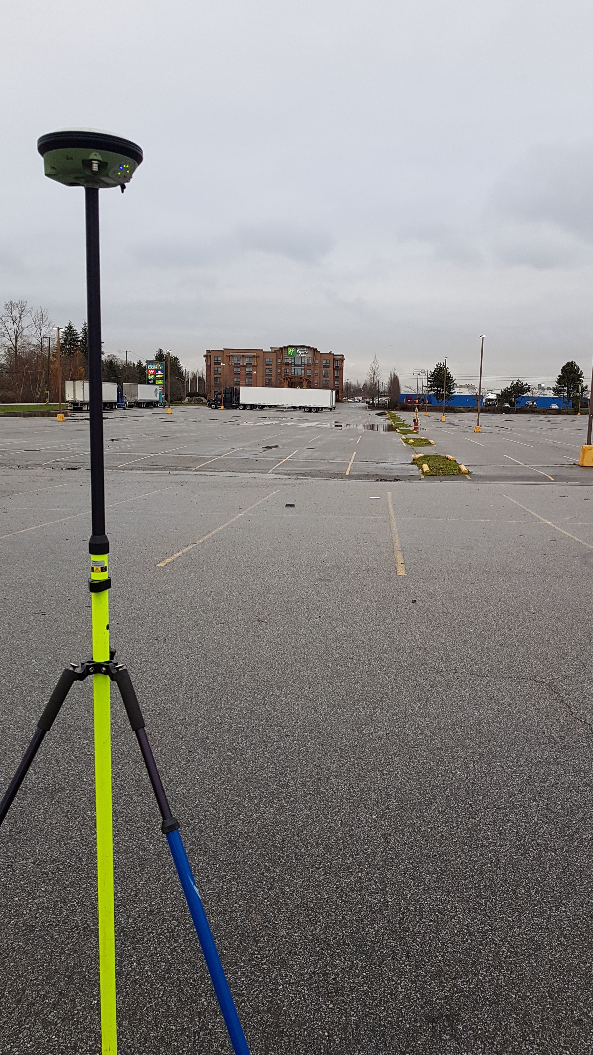
GNSS Survey for UTM Coordinates
Hi-Precision Levelling
Non-tidal Bathymetric surveys
Specialty
![20151209_171526.jpg](https://images.squarespace-cdn.com/content/v1/54c57a28e4b060a897600f16/1516148897751-6SRDSPBSBGI9ZHIDEZ8B/20151209_171526.jpg)
![20171228_143611.jpg](https://images.squarespace-cdn.com/content/v1/54c57a28e4b060a897600f16/1516148912137-NUFPMOS42IPUNFF3GX9R/20171228_143611.jpg)
![20171228_150334.jpg](https://images.squarespace-cdn.com/content/v1/54c57a28e4b060a897600f16/1516148913858-5H6N8ZXG469OO5J7L8WW/20171228_150334.jpg)
![20180110_144457_001.jpg](https://images.squarespace-cdn.com/content/v1/54c57a28e4b060a897600f16/1516148918827-GI49EVMEZ2AV1ZY7YJJW/20180110_144457_001.jpg)
Concrete Slab Flatness & Levelness
Area & Volume Calculation
Surface Inspection
Scene Preservation
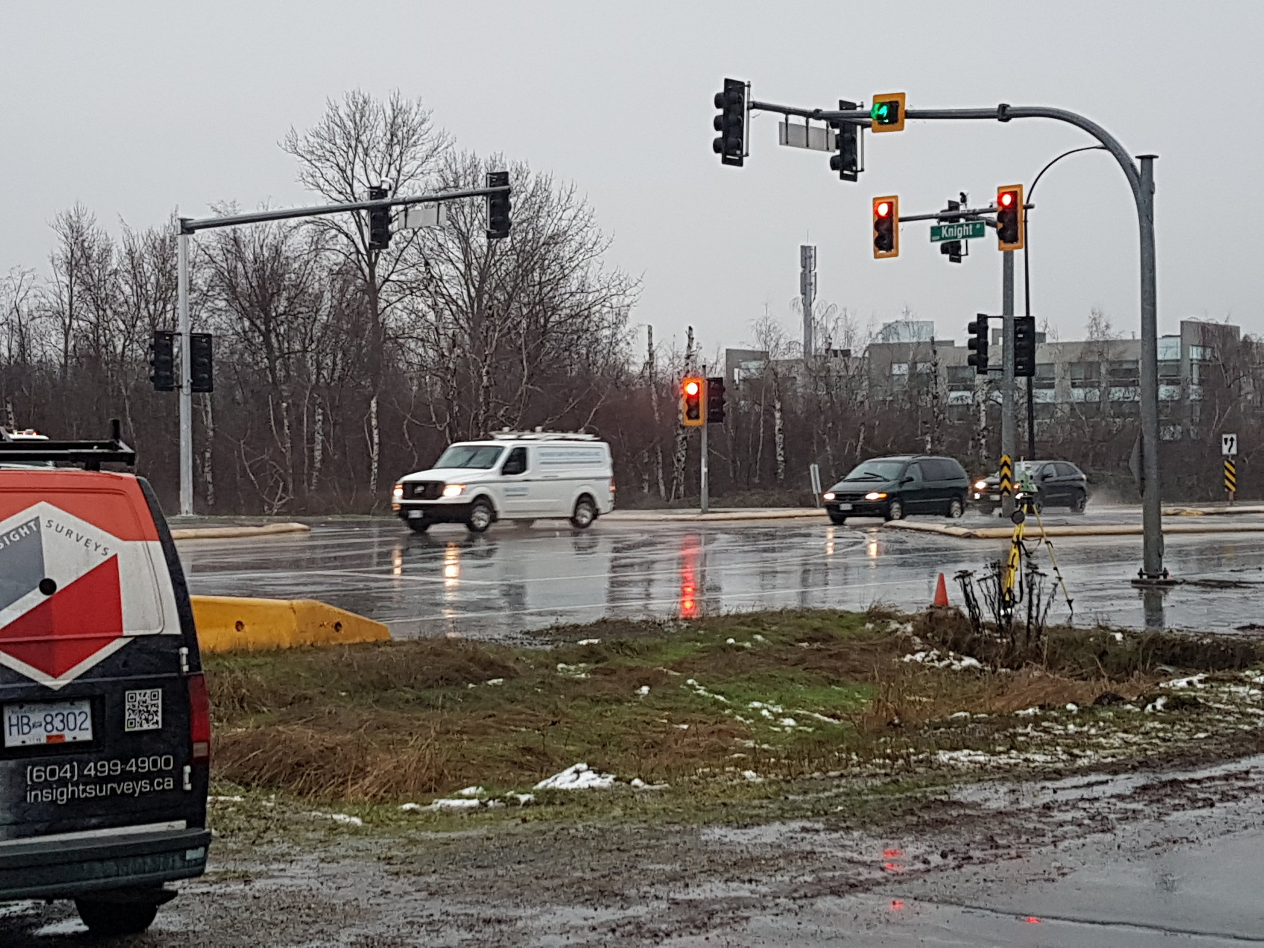
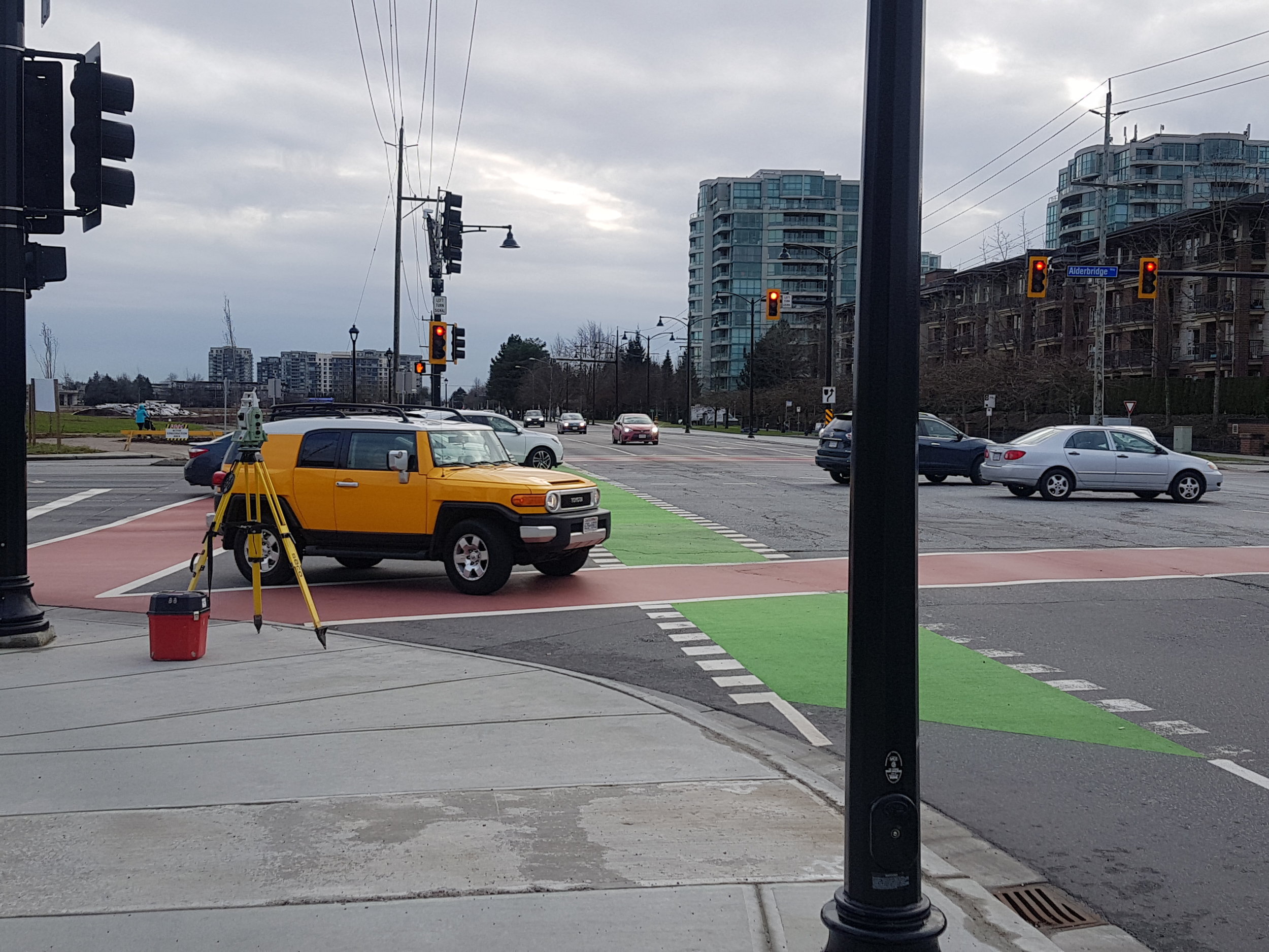
Remote Area / Dangerous Intersection Scanning
Visual Clash Detection
Interior Design / Re-modelling
Monitoring
![2017-08-12 20.18.14-1.jpg](https://images.squarespace-cdn.com/content/v1/54c57a28e4b060a897600f16/1516149342200-GE8E4HL7A9Q82LKWILO7/2017-08-12+20.18.14-1.jpg)
![20171214_133147.jpg](https://images.squarespace-cdn.com/content/v1/54c57a28e4b060a897600f16/1516149344631-ILM3X92J53HV32FV49M1/20171214_133147.jpg)
![20171221_100655.jpg](https://images.squarespace-cdn.com/content/v1/54c57a28e4b060a897600f16/1516149356426-6K9Q1R1M1J1P1Z9AEWWI/20171221_100655.jpg)
![IMG-20171220-WA0012.jpeg](https://images.squarespace-cdn.com/content/v1/54c57a28e4b060a897600f16/1516149352238-Q369ATIC0G9HE5RIEG3U/IMG-20171220-WA0012.jpeg)
Hi-Precision 3D Monitoring
Settlement Monitoring
24/7 3D Monitoring System
Drafting & Modeling
3D Modelling